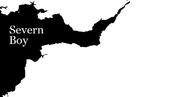
24.2.12
t designs
Some drawings from the t-shirt design plans. The idea was to get the look of a t-shirt designed by the teenage son of a town councilor.
21.2.12
Two of my favourite things
This is a model of the lighthouse at Nash which I bought online from a company called Little Dart. The detail is amazing and it came with the foghorn (which I've talked about before on this blog) as a little extra. The box it came in was equally amazing, with the appearance of some everyday packaging you would expect to come with a very popular product, not a niche market object of fancy.
This little scale model and it's box have to be some of my favorite possessions of all time. I'm busy trying to workout how I include them into my work
The box is pictured below.
This is the lighthouse that deters sailors from wandering on to the sands. Below is the lowdown from Trinity House, the organisation that takes care of all the UK's lighthouses and buoys.
Nash Lighthouse was designed by James Walker, the Engineer-in-Chief to Trinity House, in 1832 to mark the sandbanks off the point at the entrance to the Bristol Channel. The decision to build it followed a public outcry after the passenger steamer FROLIC was wrecked with heavy loss of life in 1830.
Two circular towers were built each with massive walls and a stone gallery. The eastern, or high lighthouse being 37 metres high and the western or low lighthouse 25 metres high. Placed 302 metres apart they provided leading lights to indicate safe passage past the sandbanks. The high light was painted with black and white stripes and the low light was white. In those days both towers showed a fixed light which was either red or white depending on the direction from which a vessel approached. The red sector marked the Nash Sands.
The low light was abandoned early this century and the high light was modernised and painted white. In place of the fixed light a new first order catadioptric lens was installed which gives a white and red group flashing.
Nash is one of those lighthouses scattered around our coast that has no claim to fame. For over 160 years its light has done its job as a sign to mariners to keep them clear of danger, its sole distinction is the discovery in 1977 of the tuberous thistle (Cirsium Tuberosum), a rare plant, which was found growing around the lighthouse.
Specifications
| Established | 1832 | ||||||||||
| Height Of Tower | 37 Metres | ||||||||||
| Height Of Light Above Mean High Water | 56 Metres | ||||||||||
| Automated | July 1998 | ||||||||||
| Electrified | 1968 | ||||||||||
| Lamp | 1500 Watt | ||||||||||
| Optic | 1st Order 920 Mm Catadioptric, Fixed Lens, 2 Reinforcing Panels For Red Sectors | ||||||||||
| Character | White And Red Group Flashing Twice Every 15 Seconds | ||||||||||
| Intensity | 140,000 Candela | ||||||||||
| Range Of Light | 21 nautical miles (White Sectors) | http://www.trinityhouse.co.uk |
The Charts
I found this fantastic chart of the Severn Sea, prepared for someone called Sir Rob Southwell.
A bit of research coming on..
Where it says Naze Sand (now Nash Sands) is the location of the work. Notice it says dry on the sand patch; The Severn Sea (or the Bristol Channel) has the highest tidal range in the world, so for a part of the day, at low tide, the sand is exposed. I've played cricket on it, which wasn't easy, as the surface is like a mini sand dune system, undulating and peaking much like the surface of the sea that surrounds it. In the troughs, sea water gets trapped and during the summer, it warms up to create an island of hot tubs (or more like an island of lukewarm tubs).
Rough Plans
A rough sketch of the last installment for A Second on the Severn Sea.
Filming tests have started in earnest and a timetable is beginning to emerge. I will update with progress soon.
Subscribe to:
Posts (Atom)


